I started the day by heading over to the visitors center to see what ranger talks were available today. I was there as they opened and one of the Rangers was running up the flag for the day. I talked to her on the way back in after the flag was done, she told me there were two talks for the day and she was leading one of them.
So with a little time to kill until the first talk at gold canyon, I decided to do a little exploring. I had noticed a sign for another campground above the one we usually stay in here. The problem with Sunset campground is that there is no electricity so all of the big RV’s run their generators all day to power all of the stuff in them. They require generators to be shut down from 7pm to 8am, but nothing ruins sitting outside to enjoy the sunset than the buzz of three or four generators running around you. The Texas Spring campground costs $1 more than Sunset but is generator free and prettier so I moved up here and bought two nights.
Part of Artists Pallette Drive. A really nice one way drive in the park on the way to Badwater.
The first talk of the day was in gold canyon which is one of Ton and my favorite hikes in Death Valley. The person leading it was not a ranger but a young man on an internship at the park. He took the duty very seriously and one thing I learned is that some of Star Wars 1 The Return of the Jedi was filmed in the canyon. Besides that I learned a great deal about fan canyons which Death Valley is famous for.
Gold Canyon.
The second talk was at Badwater Basin which is the lowest point in the Western Hemisphere at 280 feet below sea level. It is one of the must stop photo stops in the park. Besides being the lowest spot in the West it is also an interesting salt flat, and does have a spring which is 4 times saltier than sea water.
Badwater Basin, the lowest spot in the Western Hemisphere.
I returned to Texas Springs for sunset and climbed a hill above the campground to watch the sunset. Since the mountains on the west side of the valley are about 5000 feet higher than the valley but quite close, sunset happens about an hour and a half before the light fades which is kind of weird.
The original plan was to drive to Tonopah NV which was about 250 miles. I woke early and while I took my time getting going and doing a trip to Walmart to get some supplies I was still on the road at 8:15.
The route thru central Nevada goes thru some more remote land, though not quite as remote as yesterday. The roads are pretty good, straight as an arrow and posted at 70mph. I took it easy and cruised at 65mph, and while there was not much traffic it was all faster than me including tankers and semi-trucks.
I ‘m not sure what this thing was, but I was diverted to the shoulder so it could get past, and it had another truck hooked to the back to push.
The highlight of the drive was a giant gold mine at a place called Round Mountain Nevada. Gold was originally discovered there around 1880 and it was a very large and initially easy strike as it was surface gold. Over time while there was quite a bit of gold still around it became much more difficult to get at, and according to the signpost at the mine all of the different techniques for gold mining have been used there. At one point it was abandoned, but as mining technique became more sophisticated the mine was reopened and now it is quite a spectacular operation. It is now a pit mine and there are extremely large trucks moving the dirt form the hole to the site where it is processed. I stopped and watched these oversized dump trucks run up and down the hill for a while before moving on to Tonopah.
The Round Mountain Gold Mine with one of the giant dump trucks moving dirt from the pit to the processing area.
It was only about 12:30 when I got to Tonopah, and thanks to the miracle of satellite technology I was immersed in the Arsenal v Chelsea game on the radio so I decided to press on to Death Valley today. This turned todays drive into 380 miles. I arrived about 3 and went into the visitors center to register when I realized I was now eligible for the Golden Age pass which is a lifetime pass for all of the parks in the US. It also gives you 50% off at campgrounds. So taking advantage of my senior status and $80 I now have lifetime access, and half off in the campgrounds. Publishing this is probably going to be delayed as there is no internet at the campground, and really marginal phone service.
Sunset looking at the Panamint Mountains from the campground.
Winnemucca Nevada has been on my radar since last year when we passed thru on the way home. I liked the name and it had an interesting history. It got its start as a railroad stopover on the intercontinental rail road. Their are several large gold mines in the area, and one of it’s banks was robbed by Butch Cassidy and the Sundance Kid. It has a Basque heritage, and boasts of five Basque restaurants in town. The final reason is that it was only 230 miles from Bend and seemed like a reasonable distance for the day.
Windshield shot of the loneliest road in Oregon. Don’t worry about my safety, I was in the middle of a 10 mile straight stretch of highway without a car in site in either direction.
The first 150 miles of the trip was on Oregon Highway 78 which has to be one of the emptiest highways in the continental US. About 30 miles outside of Burns is a gas station and the Oregon Department of Transportation (ODOT, it comes up again later!) has put up a sign warning motorists that there will not be any fuel for the next 120 miles. Ton and I have driven this road several times in our visits to eastern Oregon and we always comment on the lack of man made objects. This time because I was by myself and had nothing better to do I paid attention, and for a 48 mile stretch of OR78 there are no visible permanent man made objects except the road and the power lines adjacent to it. For a 100 mile stretch of OR78 and US95 there are six man made objects, I kept track. In this stretch all you see are 2 ODOT facilities for road maintenance, 1 radar site for either the military or the FAA, 1 cell/microwave tower, and 2 very lonely ranches. It is hard to envision the emptiness of south east Oregon.
Typical scene along OR78. Sagebrush desert virtually unaltered by man.
Last night while researching things to do on the drive today I came across an entry for Paradise Valley in the Nevada tourism site. It had an interesting history as a gold mining town in the 1880’s and was billed by Nevada tourism as a living ghost town. The blurb showed a couple of interesting pictures. It was close to my route so I decided to swing over for lunch. I know that selling tourism in north central Nevada is tough but they really exaggerated the ghost town. What is there is a small farming community with a couple of well maintained churches, a few nice houses and some derelict buildings that are old. It is certainly no ghost town, and really shows the power of what a good photographer can do to make a mundane site look interesting.
The “ghost town” of Paradise Valley.
I arrived in Winnemucca around 1:30 and checked into a very nice campground a couple of miles out of town. I was debating what to do for the rest of the day but I had noticed that there was a brand new sidewalk all of the way from town to the campground, so I decided if Winnemuca had gone thru all of that trouble to build a sidewalk I should use it. The walk into town was nice as I spent a lot of it chatting with Ton. The town itself was kind of disappointing. I expected more, but it looks like Winnemuca’s downtown has suffered from the suburbanization of it’s shopping so there was not much going on downtown. The tourist information office/museum was closed, and none of the other stores looked interesting. The restaurants looked shabby, and they do not brew beer in town. So after walking around a while I headed back to Scout and cooked up some of Ton’s Larb, which is my favorite Thai food.
We realized that Scout has been lonely in the driveway and has not moved in nearly a year. This is definitely not good for a RV so we were looking for an opportunity to take a trip before we take our spring trip to Europe. Ton has a much more active social life than I do and she was having a hard time freeing up time, and she is also not a fan of cold weather camping. On the other hand I had time on my hands and was going a little stir crazy at home so we made a decision for me to take Scout out on a trip by myself, this means the pictures are not going to be as good. I do not have an agenda besides getting out of the gloom of Oregon and finding some sun. The initial thought is to head towards Arizona.
Today was about getting over the mountains before the next storm runs thru and makes crossing over the passes difficult. Ton and I spent the last couple of days stocking up Scout for the trip. She was even nice enough to cook some of my favorite meals so I can microwave them. So I was ready to make an early start as the best stop for the first night was Burns which is about 330 miles. Last year we took a different route home thru central Nevada and it was really beautiful, so I decided to head south that way and this long drive would get me in position to do it.
The weather was clear and pretty warm on the west side of the mountains, but as I climbed up the temperature began to fall until it reached freezing and a there were a couple of accidents. One of the accidents involved two cars and was pretty serious. Some people get careless and try to drive too fast. One fool even tried to pass two snow plows that were spreading cinders until the guy in the plow made it clear that was not going to happen. Between the accidents and the snow plows the trip over the passes took a while.
Detroit Lake Reservoir had been drained in preparation to receive the spring snow melt. It made for an eerie picture.
Once I descended down the weather was good and the skies were clear. Eastern Oregon was its’ rugged and remote finest for the last three hours of the trip. I love the emptiness of the high desert. Last winter the campground we usually stay at was closed when we went thru here and we ended up in a hotel. This year I checked and their website indicated they were open, and sure enough they were. So all ends well today and I hope my longest drive is behind me.
Mt. Bachelor and the Three Sisters were out today once I crossed over the mountains.
Finding our way around countries that we are totally unfamiliar with is one of the challenges that we deal with on a daily basis when traveling. This post is about our experience using our GPS in Europe.
What to do?
Driving
For long distance navigation we use the same Garmin GPS unit that we have in the US that we refer to as Greta Garmin. There is a European SD card which can be bought and inserted in many Garmin navigation systems. It is possible to also download the map set into the Garmin directly. The only issue with purchasing the SD card in the US is that it cannot be updated, you have to purchase a new card when you require an update. This became a problem as the French changed the speed limits on most of the inter town roads (N and D roads in the French system) after our second trip, and we needed to update. If you plan to stay in Europe for a long period, or do not want to carry your GPS unit back and forth it may be worth looking at purchasing a unit over there as units purchased in Europe come with free updates from Garmin for the European map sets as they do here in the US.
Other Options
There are other options that we have looked at including using Google Maps, an app called ViaMichelin, and an app called CoPilot GPS. The issue we have with these three options for long distance navigation is that they are internet based, and while we purchase a plan that gives us about 3 gigs of data per day we do not want to use it for inter-city navigation. The CoPilot app has an offline mode that allows you to use the tracker in your phone and a route you download prior to departure. We considered that, but my senior eyes need a display larger than an iPhone to quickly see what is going on.
Our Experience
The initial unit we brought over was a car based system so there was no capability to program any size restrictions. This is more important in Europe than in the US. Roads are far more often restricted by height, width, or weight than in the US. When these restrictions are in place they are usually well marked so you can detour prior to hitting them, but sometimes the detour is not clear. Watching for these signs are both of our responsibilities.
My observation is that the logic for Garmin systems looks at speed limits and distance to pick the best route. Our experience is that there are three broad classification of roads in Europe. Using the French designations as they are not standardized across Europe, “A” routes (freeways)have speed limits of 110 to 130 kph. “N” routes (think US Highways) have speed limits that vary between 80 and 110 kph, but generally are either 80 or 90. The thing that makes navigation tricky are the “D” roads. The speed limit is 80 on these roads but these roads can range from good wide two lanes with shoulders, to a paved one lane equivalent of a US ally with no shoulder, and obstructions on either side, and while the official speed limit may be 80 kph the realistic speed particularly in a RV is going to be much slower. The problem is that Greta Garmin does not know which type of “D” road it is and since the speed limit is the same will pick the shortest route. The other problem is that most of the good stuff you want to see is on a “D” road so you will spend a lot of time on them and occasionally to get where you really want to go you will need to go a skinny road.
A good “D” road speed limit in France 80 kph. (This one is from Austria)Also a “D” road speed limit 80kph.
The other issue is that when you enter the city limits of towns in Europe the speed limit drops to 50 kph unless marked. The same logic applies here to Greta Garmin, she picks the shortest route which can take you down roads that were designed in the middle ages, versus a reasonable modern route with two good lanes that is 200 yards longer.
These signs are standard when you enter a town in Europe. It also means the speed limit is 50kph unless marked differently.
Over time we have learned to ignore Greta’s insistence on turning down single lane country tracks, and continued on the good “D” road we are on, particularly in towns. It usually works out though she complains for a while. As we have gained more experience we have learned more about signage to help us find the bypass routes that keep you off medieval roads.
To try to address this problem of Greta trying to route us down roads that should be used as a last resort, for Christmas I invested in a RV Garmin that we plan to test on our next trip. This will allow us to input the size and weight of François into the Garmin which will hopefully cause Greta to want to keep us on wider roads. I will give an update after our next trip.
The bottom line is that like in the US do not blindly follow your GPS no matter what type you are using. But in Europe in an RV be even more skeptical than you would be here about what your GPS is telling you.
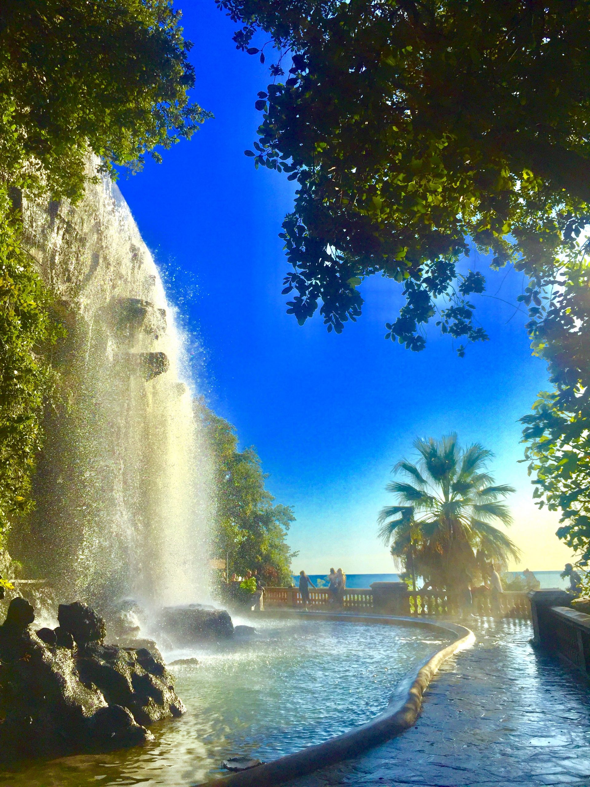
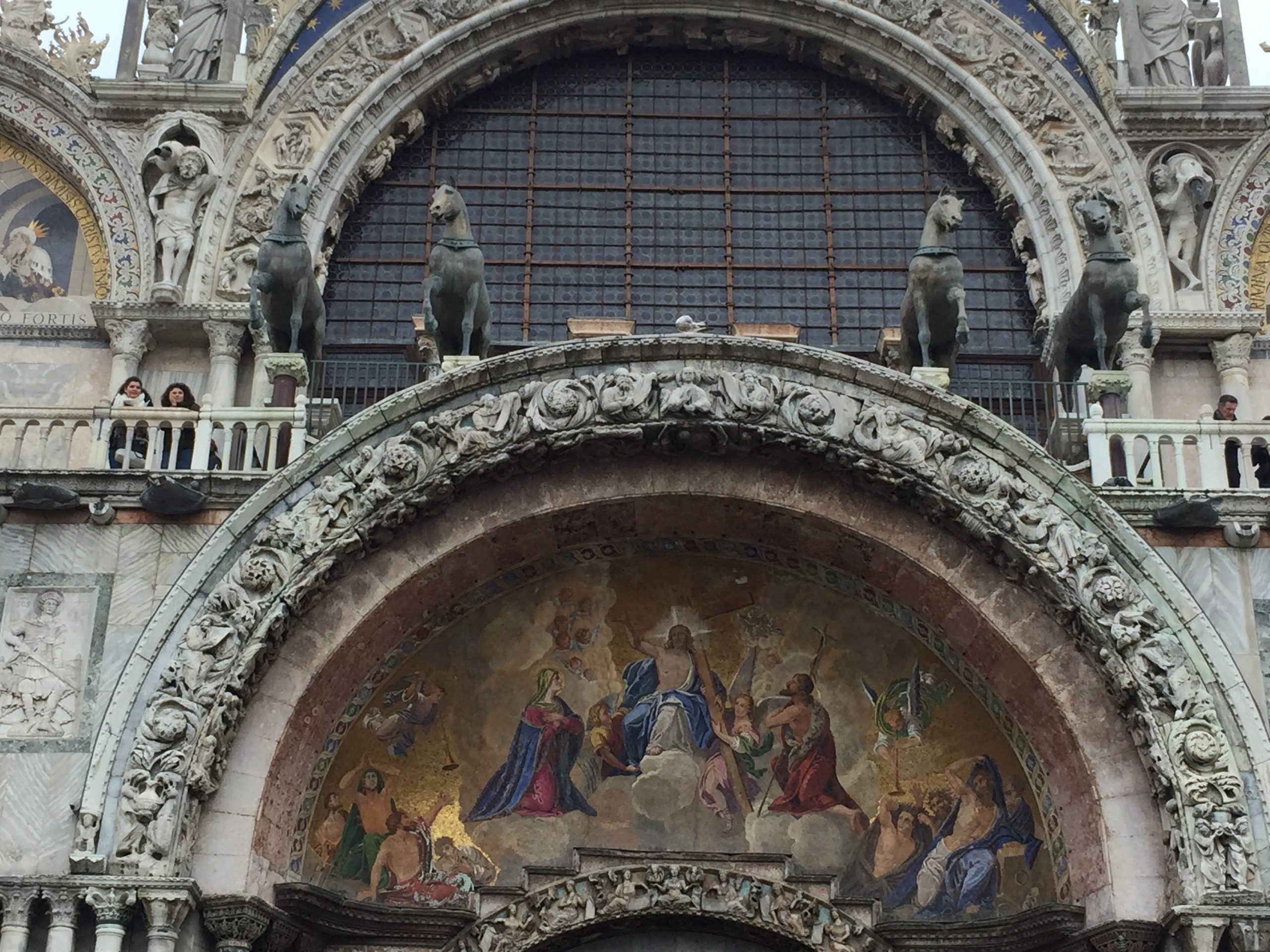
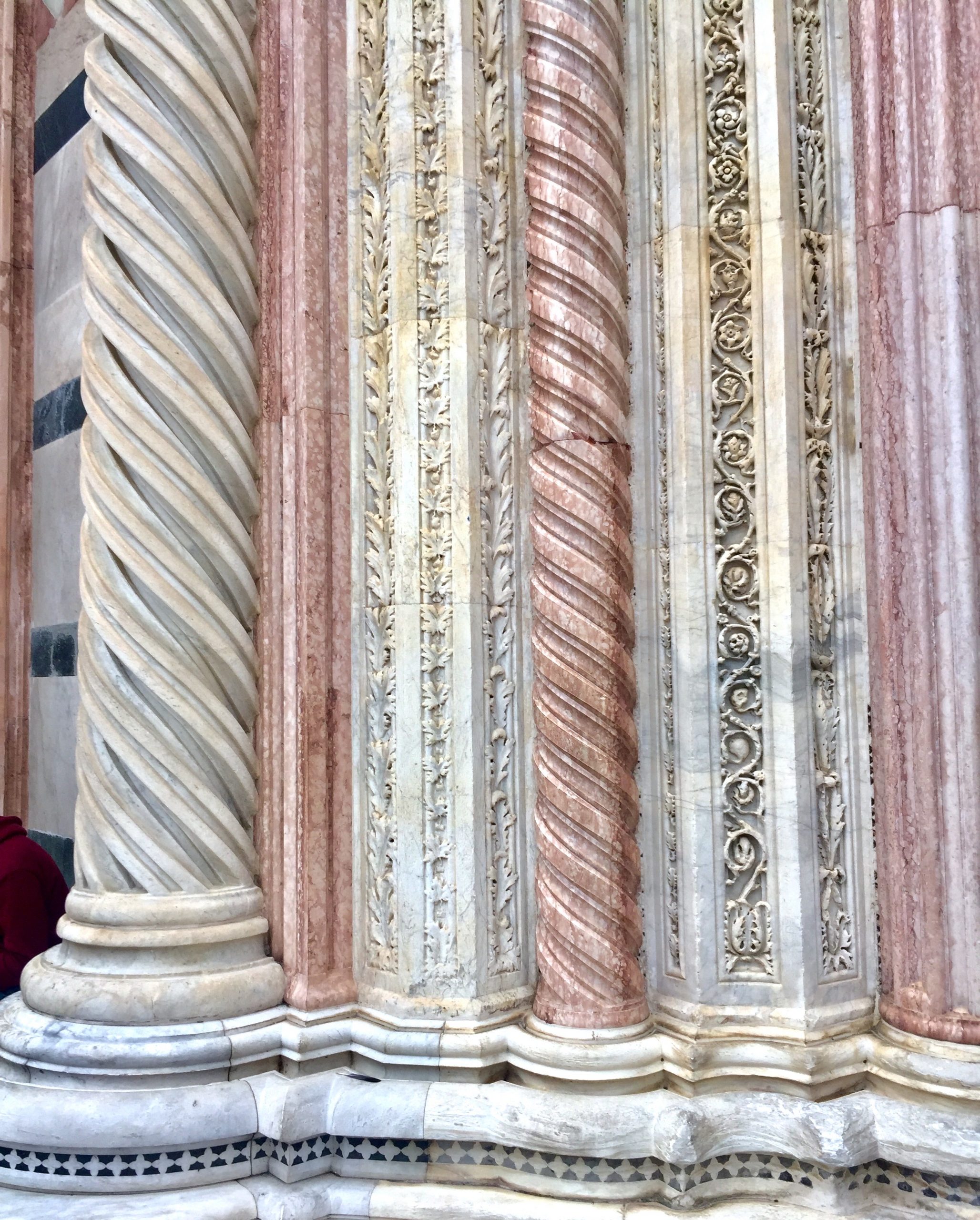
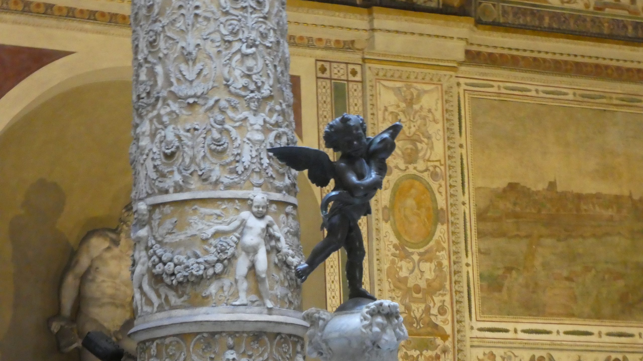
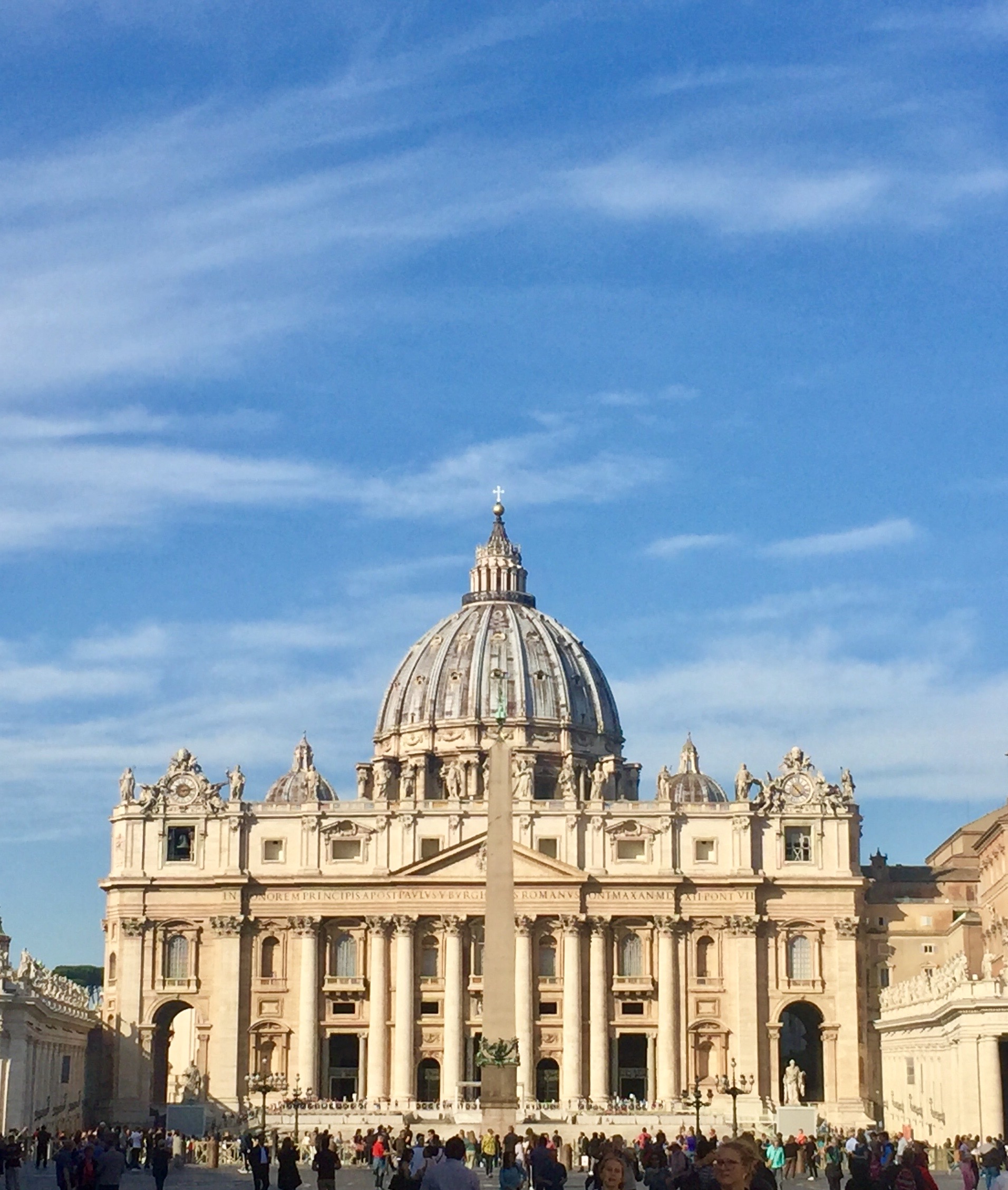
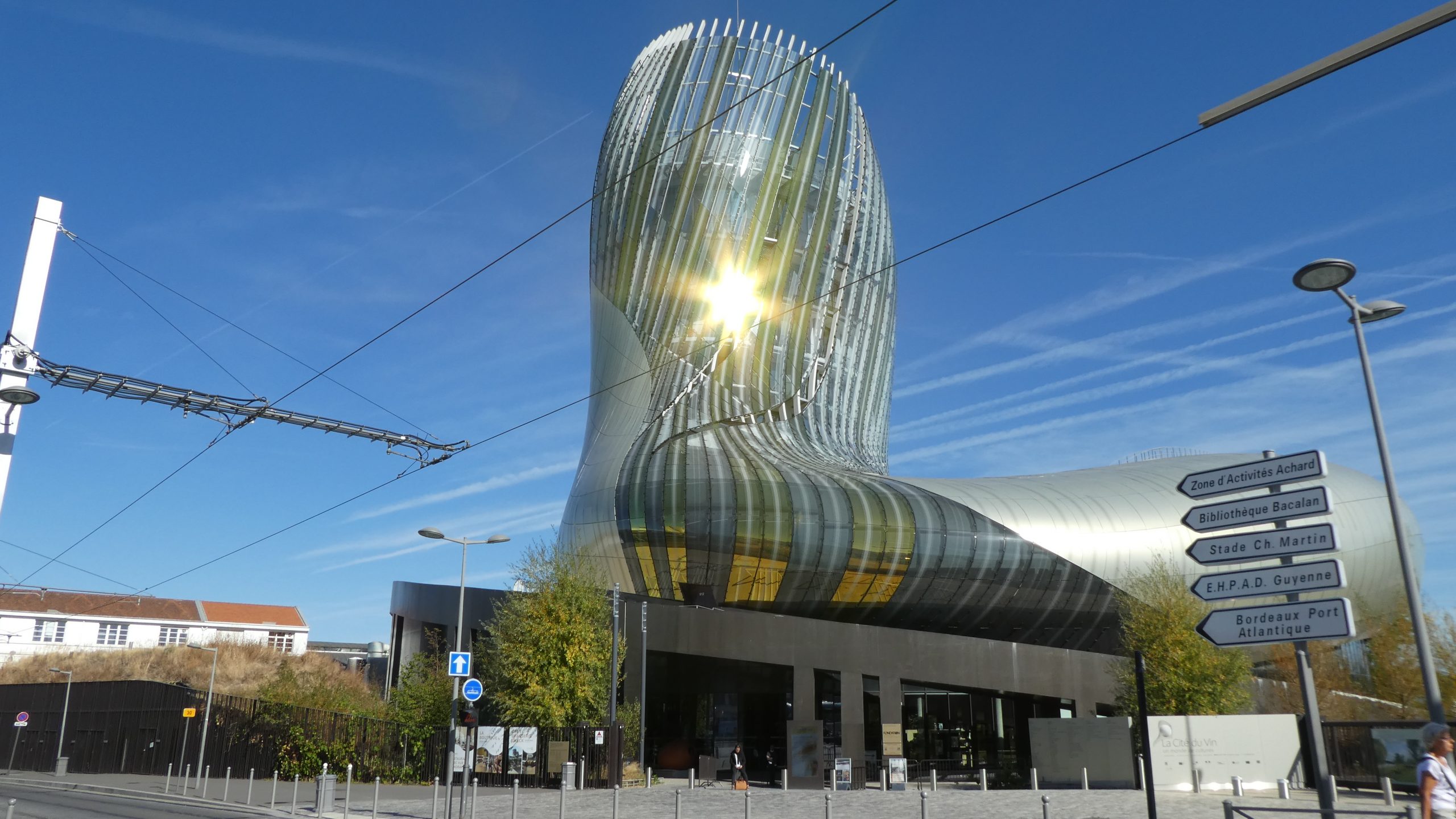
As I said in the introduction to the photo gallery on the south we were absolutely charmed by Italy. As we traveled north we began to run into bad weather and planning began to be more difficult as a lot of the campgrounds shut down in November. Despite that every day brought some new unexpected charm that sold us on Italy.
This gallery covers our travels north of Rome from Umbria to the end of the trip in Italy at Sanremo. It also includes our stay in Nice France, which was also a wonderful town.
We were charmed by Italy. It became clear how charmed when I went to make the photo gallery for our trip to Italy that we had taken to calling Affascinante Italia. It was clear that we had too many photos for one photo gallery so I have made two. Initially we were going to call the trip Bellissimo Italia or beautiful Italy, but as we spent more time there we began to realize that it was more than the beauty that appealed to us.
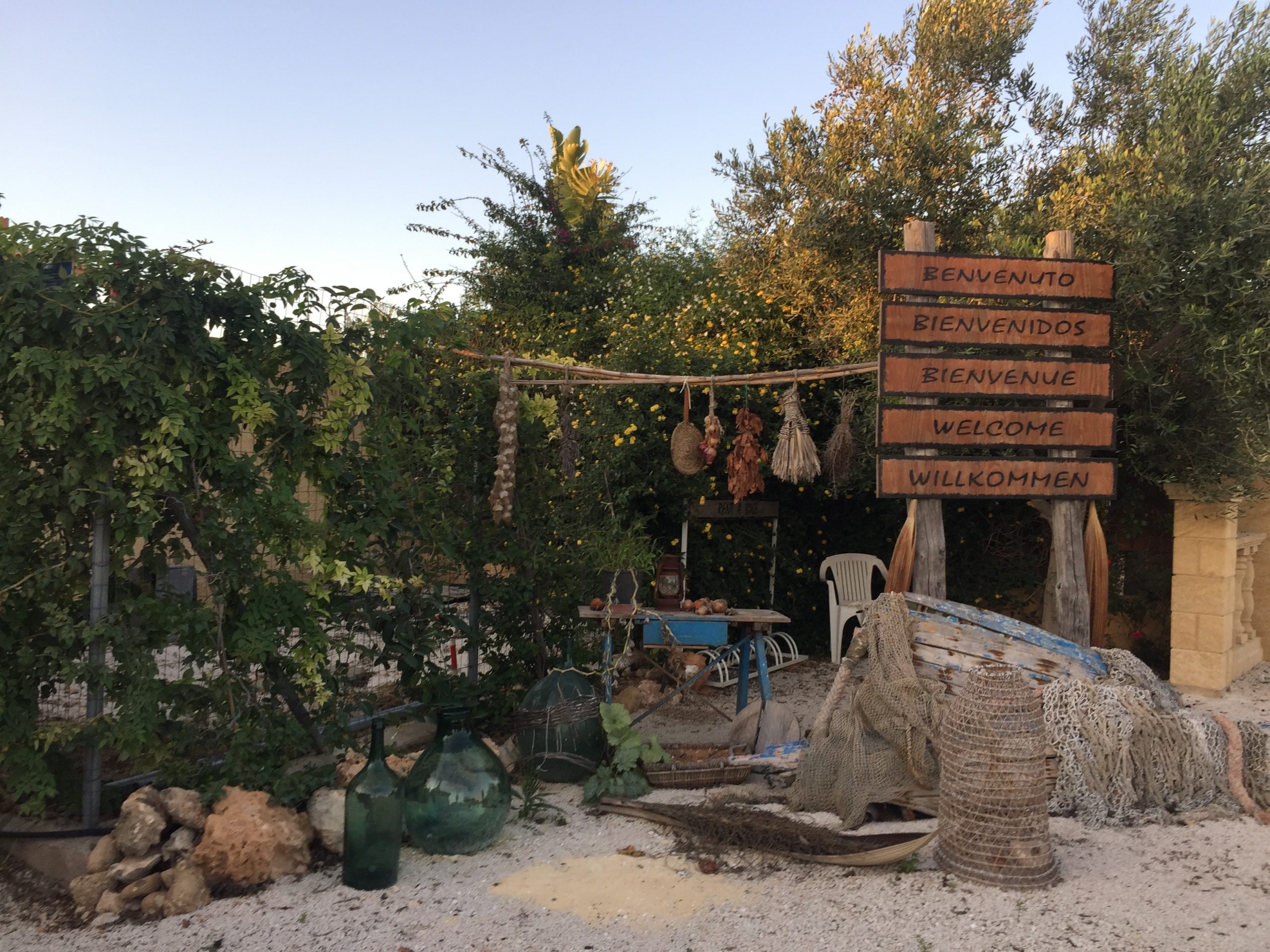
Italy has a charm to it that really appealed to us. It is a bit rough around the edges, (and sometimes not just the edges) but for us that gives it a character we really enjoy. The beauty of the cities is undeniable. Couple the beauty with the fantastic food and great mostly unpretentious wine and we were hooked. To finish off the charm the Italians we ran into were universally fun, helpful, and nice. Thus by the end we changed the name to Affascinante Italia or charming Italy.
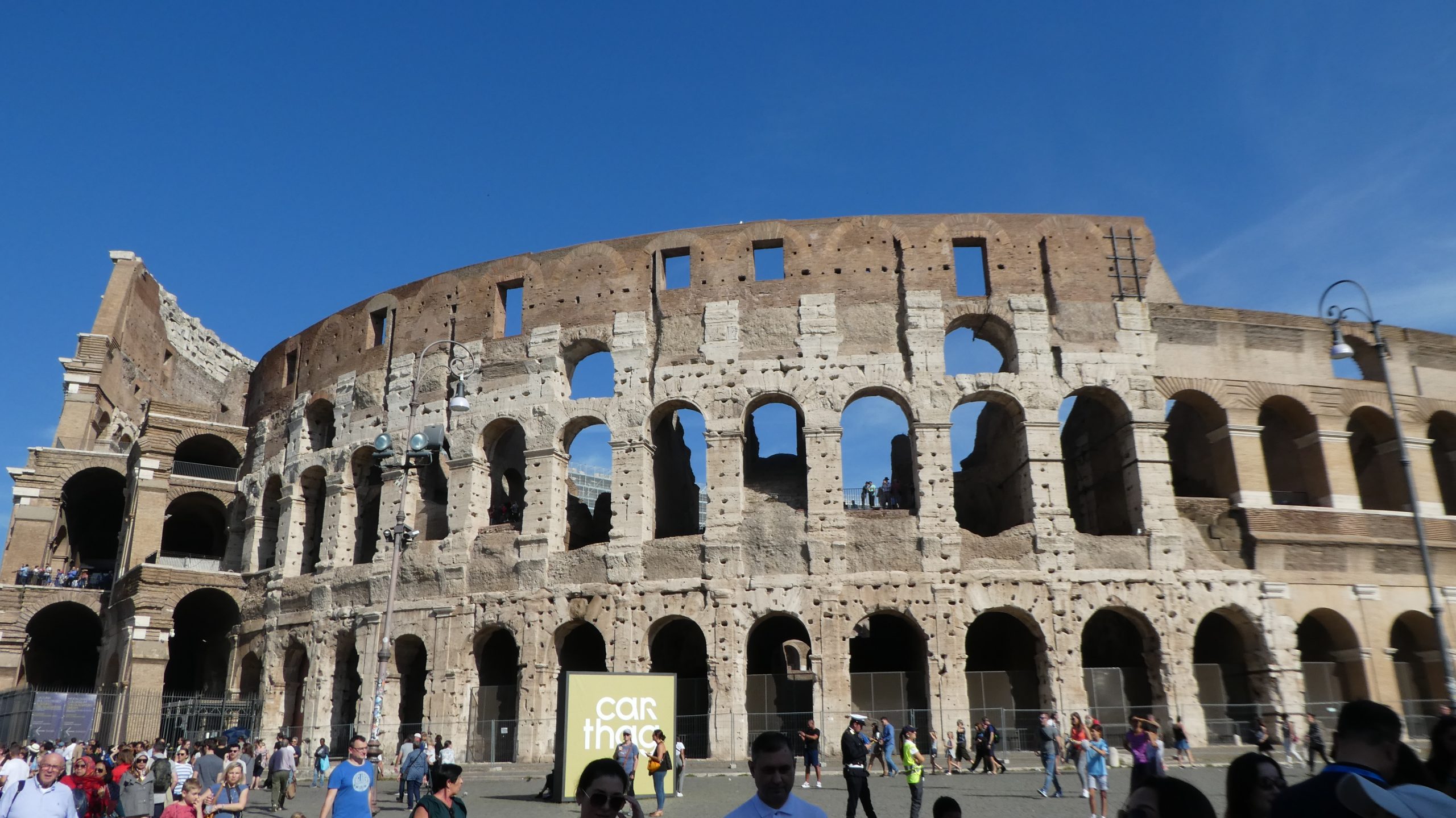
We divided the photos with everything from Sicily to Rome in the southern gallery. This includes Lyon and St. Tropez in France as we were heading towards Sicily.
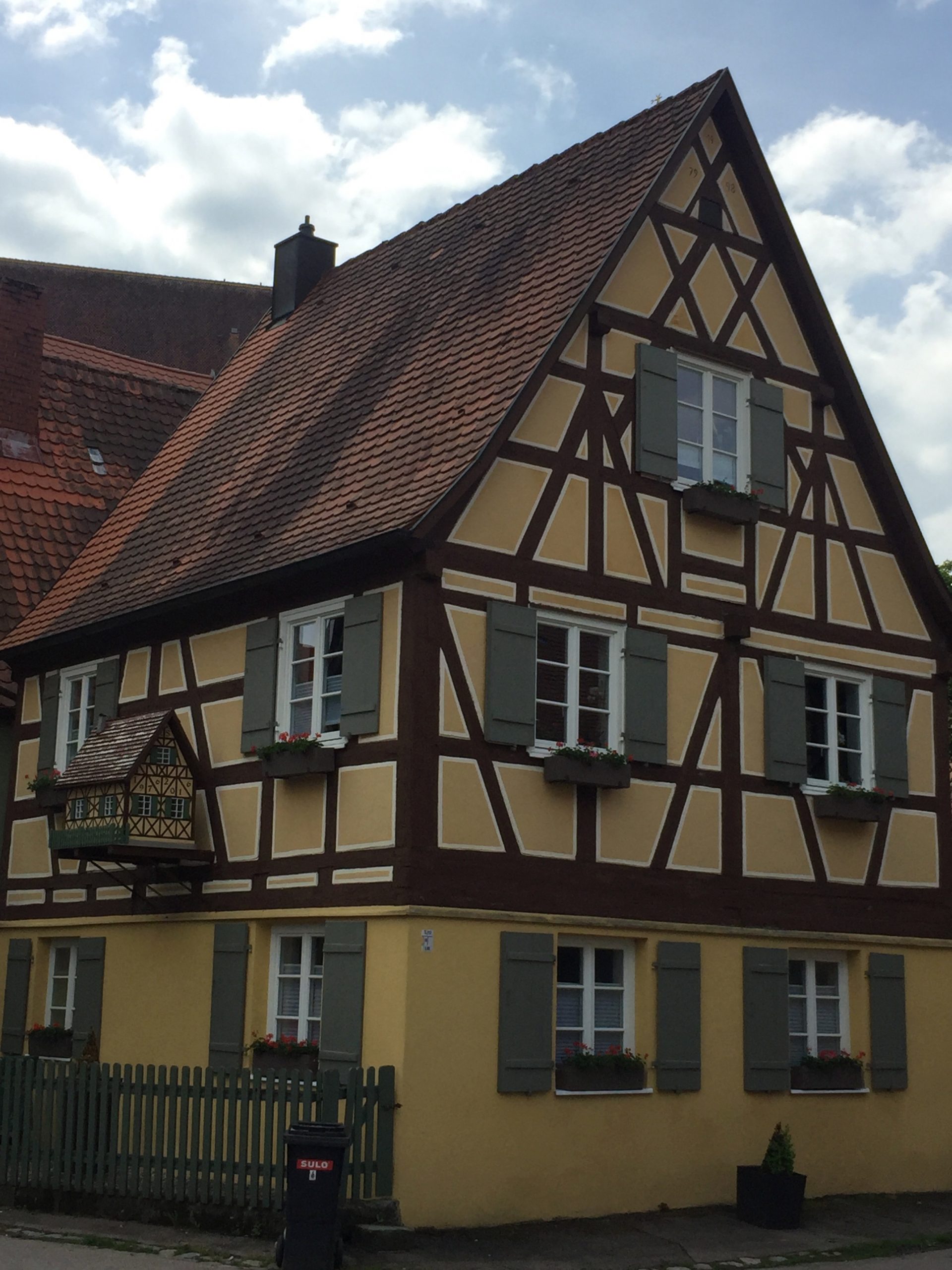
Our spring 2019 trip took us to Germany and Belgium. As is becoming a pattern we ended up spending more time in France than we planned as we found Alsace to be spell binding.
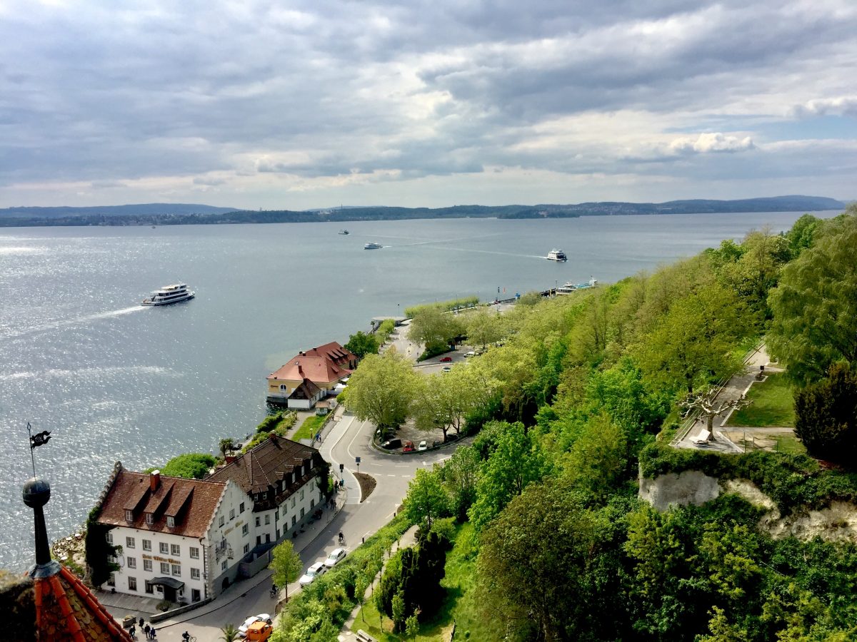
The majority of the trip is in Germany and we found Germany very photogenic and easy. An unexpected treat for us was the area around Lake Constance where we had budgeted a day, and ended up spending 5 days. The beer in Germany was easy and consistent but we were not wowed.
Belgium charmed us in a way we did not expect, and as we expected the beer was fantastic. We thoroughly enjoyed Belgium and are planning stops in Wallonia the French speaking part of the country in the future.
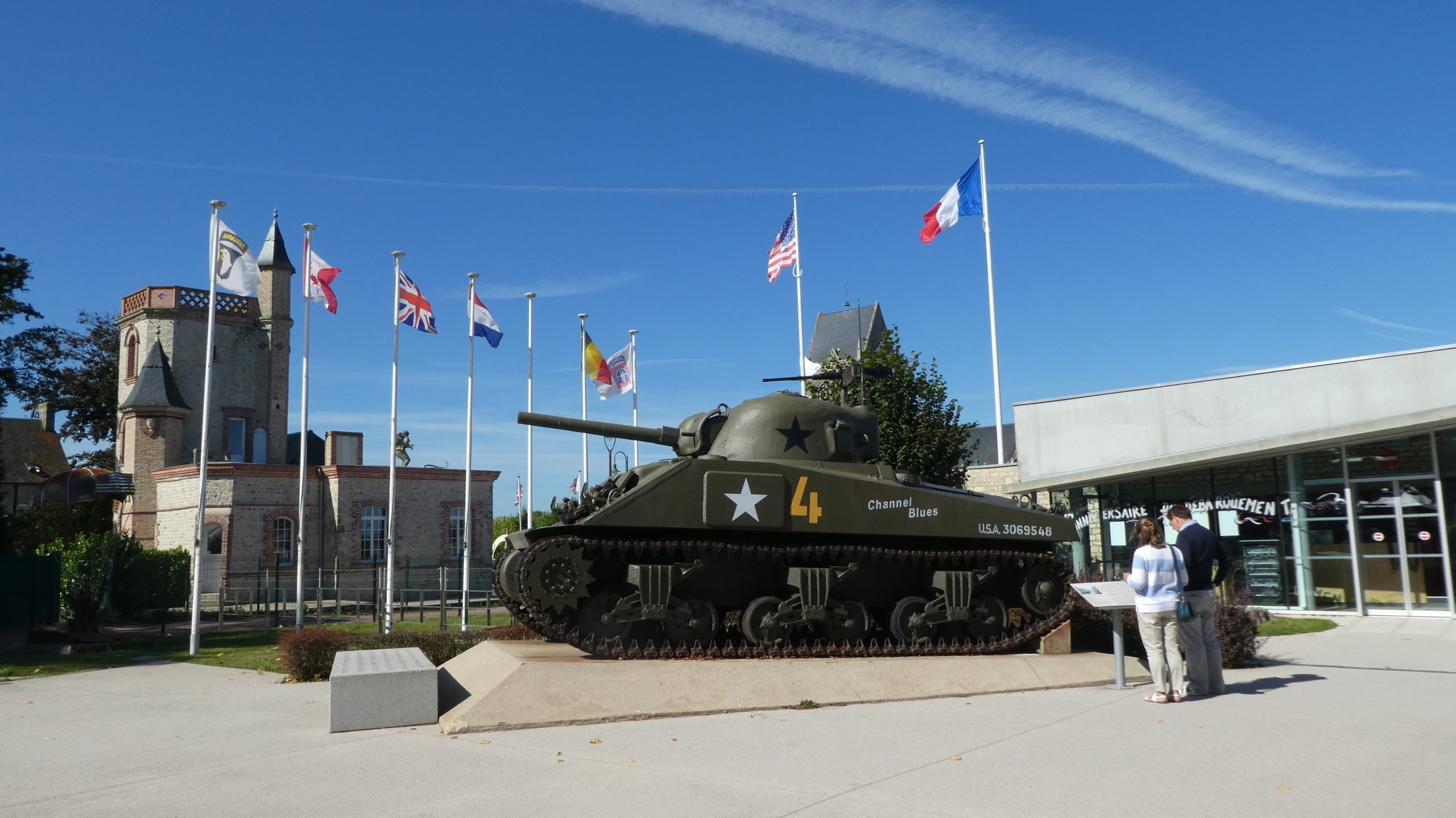
Our first trip as owners of a Camping Car in Europe was in the fall of 2018. Our target for this trip was Spain, but we had a very difficult time getting out of France. After about 10 days we realized we were still quite a long way from Spain, and we still discovering places in France we wanted to visit.
Eventually we did succeed in leaving France and heading to Spain. Spain did not disappoint us. It was a constant series of exciting and beautiful towns and cities. We spent more time in cities in Spain than we normally do, but they were all worth the extra planning that goes along with urban visits in a RV.
The highlight of the trip was Seville, but there were many other highlights as well. Unfortunately we ran out of time and ended up skipping most of central Spain including Madrid. We will have to plan another trip to Spain in the future.


